


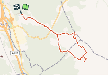

11.5 km | 14.5 km-effort

User


FREE GPS app for hiking
 SityTrail
IGN / Geographical institutes
SityTrail World
The world is yours!
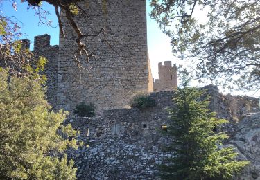
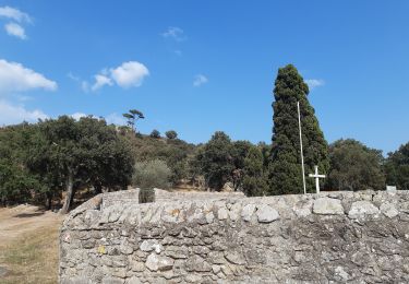
Trail Walking of 11.1 km to be discovered at Catalonia, Girona, la Jonquera. This trail is proposed by MarcOBRECHT.
Depuis El FOGON de CANADAL.
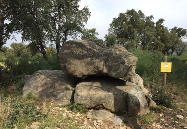
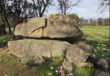
Tour des mégalithes et des étangs


On foot
On foot

On foot
Walking
Walking
Walking

Walking
Walking
Walking